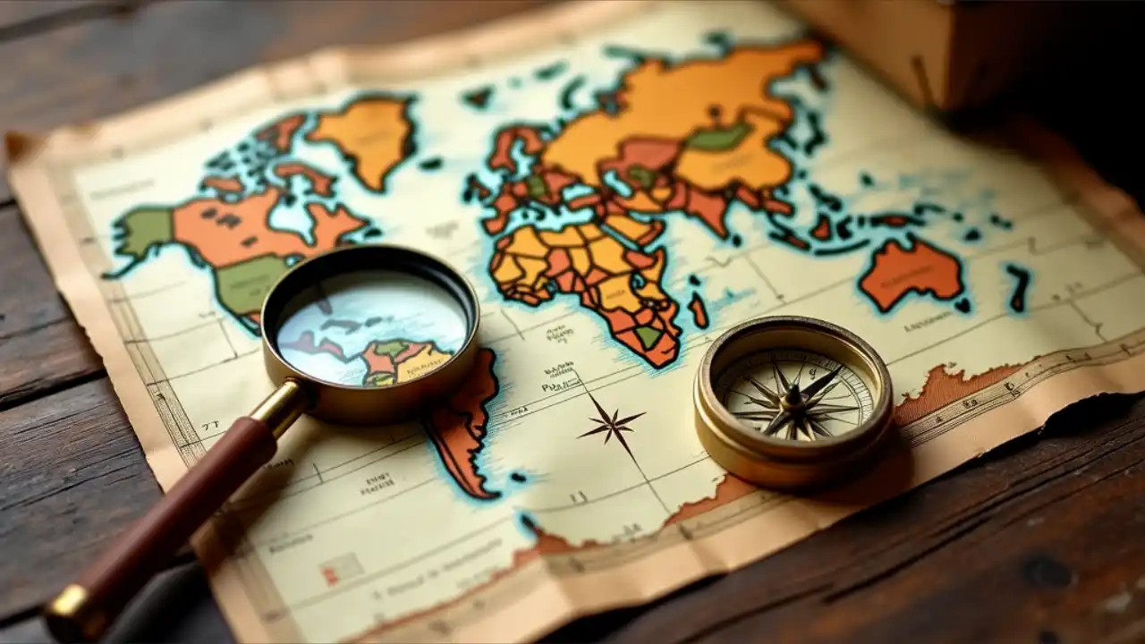
National Read a Road Map Day
National Read a Road Map Day is a unique celebration that encourages people to revisit the art of navigating with paper maps. In an era dominated by GPS and digital navigation, this day serves as a nostalgic reminder of the traditional ways of finding our way and exploring the world.
Quick Facts
- When is it? April 5th, annually.
- Tagged as: Hobbies & Activities, Reading & Writing.
- What’s the hashtag? #ReadARoadMapDay
- When was it founded? The exact founding date is unclear.
- Who founded it? The founder remains unknown.
History of National Read a Road Map Day
The origins of National Read a Road Map Day are not well-documented, but its purpose is clear: to celebrate road maps and the skills required to use them. The history of road maps dates back to ancient times, with the earliest known map being the Turin Papyrus from Egypt around 1160 BCE. Over centuries, road maps evolved, aiding travelers in navigating new territories. By the 20th century, organizations such as Rand McNally and AAA popularized detailed road maps for motorists. Despite their decline in use due to digital technology, paper maps remain a symbol of exploration and adventure.
Timeline
- 1160 BCE: The Turin Papyrus Map is created in Egypt, showcasing mining routes.
- 350 CE: The Roman Tabula Peutingeriana depicts extensive road networks across Europe and Asia.
- 1500: Erhard Etzlaub designs a Roman road map for pilgrims traveling to Rome.
- 1904: Rand McNally publishes its first modern automobile road map.
- 1956: The U.S. Interstate Highway System boosts the demand for detailed road maps.
Dates by Next Year
| Year | Month and Date | Day |
|---|---|---|
| 2024 | April 5 | Friday |
| 2025 | April 5 | Saturday |
| 2026 | April 5 | Sunday |
| 2027 | April 5 | Monday |
| 2028 | April 5 | Wednesday |
| 2029 | April 5 | Thursday |
Observed
National Read a Road Map Day is celebrated by unfolding a paper map and navigating without digital assistance. Activities include planning trips using only maps, learning how to read them, and appreciating their historical significance.
Fun Facts About National Read a Road Map Day
- The world’s largest road map covers an entire wall at the United Nations Headquarters in New York City.
- Before GPS, military operations heavily relied on detailed paper maps for navigation.
- Cartography (mapmaking) dates back thousands of years and has been pivotal in human exploration.
Quiz
- What is the oldest known road map?
- Which company published the first modern automobile road map?
- What year was the U.S. Interstate Highway System established?
Answers:
- The Turin Papyrus Map.
- Rand McNally.
- 1956.
FAQs
Q: Why celebrate National Read a Road Map Day?
A: It’s a way to honor traditional navigation skills and appreciate how far technology has come.
Q: Can I use any map for this day?
A: Yes! You can use any paper map—local, national, or even historical.
Q: Is this day recognized internationally?
A: While primarily observed in the U.S., anyone can celebrate it globally.
Related
- National Geographic Day
- World Cartography Day
- National Adventure Month